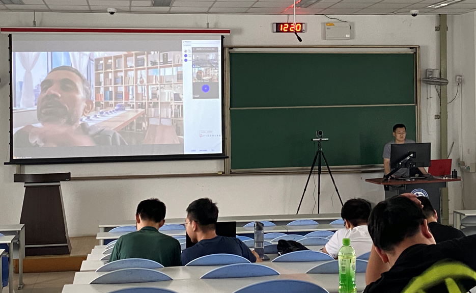
To broaden students' international horizon and learn about advance technologies, Prof. Quazi K. Hassan from the University of Calgary was invited by Prof. Kaifei He to give a Remote Sensing course for students of the Department of Surveying and Mapping during the International Week. The course lasted from June 26 to July 2, with Dr. Bing Wang as the Chinese teacher. A total of 63 students took this course.

The main content of this course includes the principle of optical, infrared and microwave remote sensing and its application in environmental monitoring. It aims to help students build the knowledge base of optical, thermal and microwave remote sensing, use remote sensing data to deal with real life applications and understand how to solve problems through the use of remote sensing data and technologies.
UPC - China University of Petroleum (East China) and University of Calgary met in Fall 2018 to discuss the possibility of 3+2 degree program whereby UPC students would complete 3 years (6 terms), then attend University of Calgary for the final year of their UPC undergraduate degrees (terms 7 and 8) and then remain for an additional year to complete a University of Calgary course-based Masters of Engineering (MEng) in Geomatics Engineering.
Dr. Quazi K. Hassan is a Professor of Earth Observation in the Department of Geomatics Engineering, and Centre for Environmental Engineering Research and Education (CEERE) at the University of Calgary. His research interests include: (i) application of remote sensing in forecasting and monitoring of natural hazards/disasters, such as forest fire, drought, and flooding; (ii) use of remote sensing and GIS techniques in understanding the dynamics of natural resources, such as forestry, agriculture, and water; and (iii) integration of remote sensing, GIS, and modelling techniques in addressing issues related to energy and environment.
(Author: WANG Bin, Review: HE Kaifei, From: College of Oceanography and Space Informatics)

