
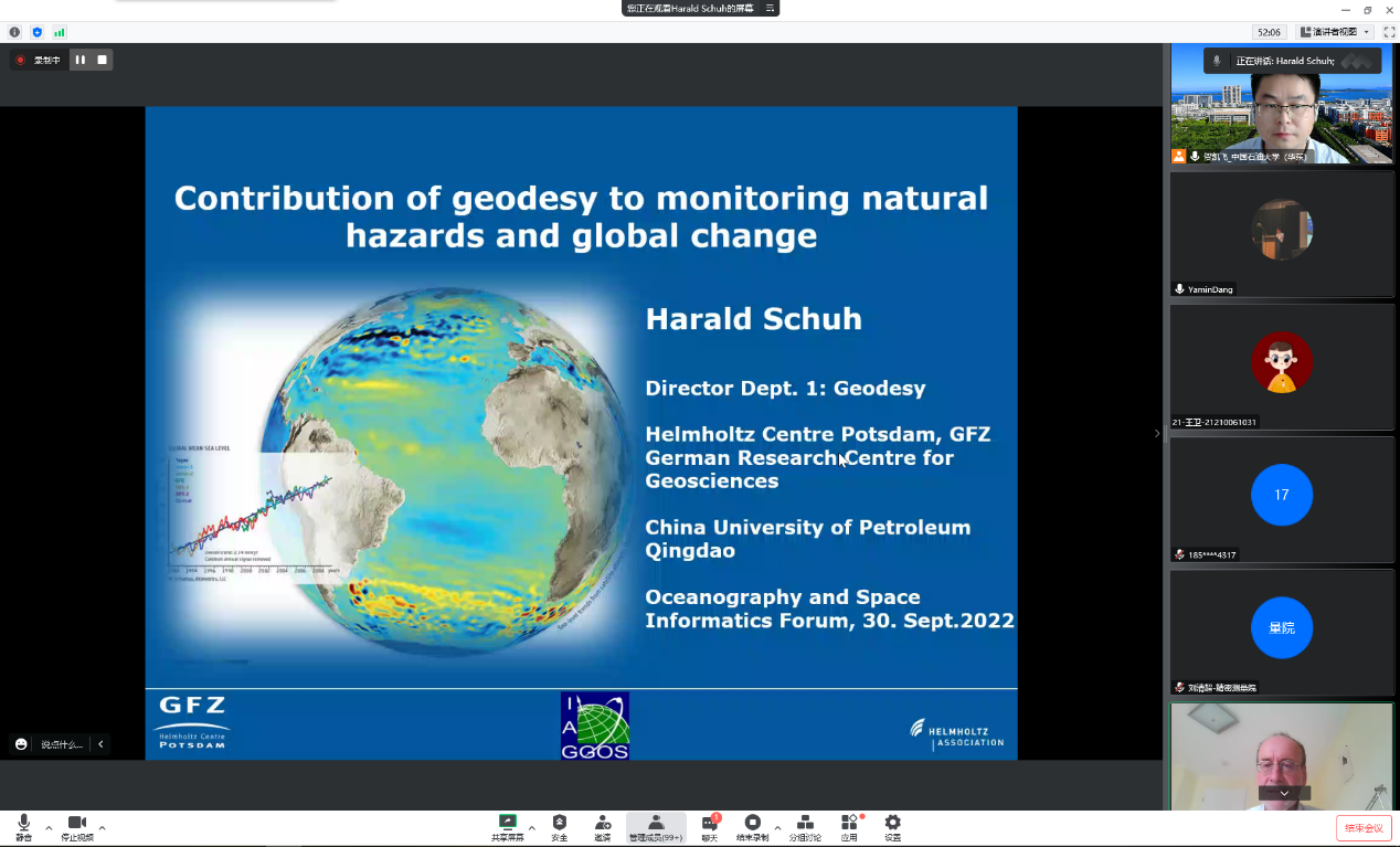
On September 30st, Prof. Harald Schuh of the German Geoscience Research Center (GFZ) was invited by Prof. Kaifei He to give an online academic report for the teachers and students of our college. During the conference, Prof. Harald Schuh gave an academic report entitled:"Contributions of Geodesy to Monitoring Natural Hazards and Global Change". This academic report attracted more than 350 experts, scholars and graduate students in the field of geodesy to participate the online exchange.
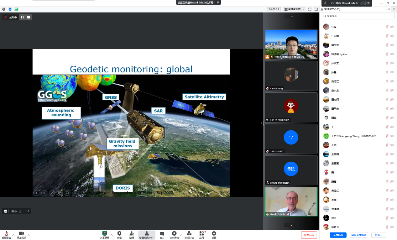
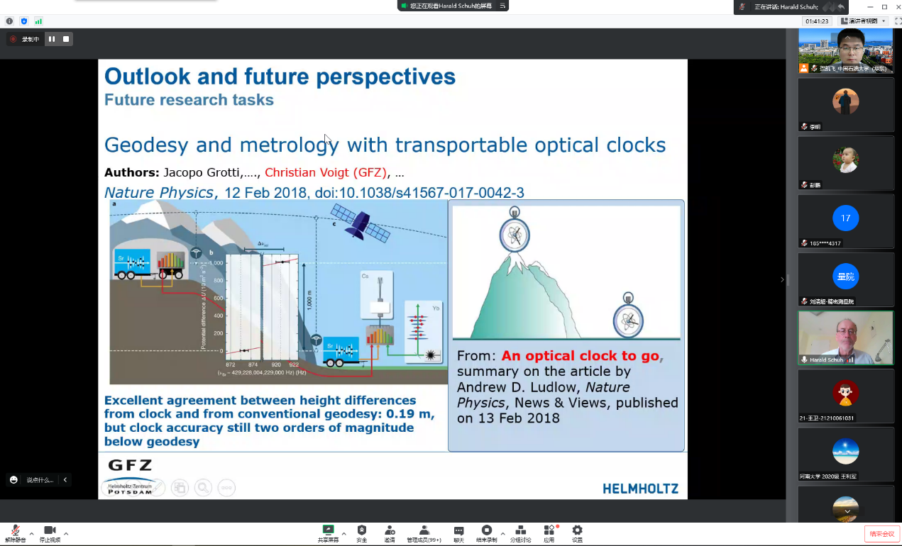
Firstly, Prof. Harald Schuh introduced the task of geodesy, ant point out that the definition and realization of precise and stable reference frames play an important role in modern geodesy, as they are required when we want to monitor changes on the Earth such as plate tectonics or global sea level rise. An overview of the various natural hazards and global change phenomena that can be observed by geodetic techniques will be given. Depending on the spatial scale, various types of measurements can be used, from space geodetic techniques such as GNSS (Global Navigation Satellite Systems), SLR (Satellite Laser Ranging), VLBI (Very Long Baseline Interferometry), and DORIS (Doppler Orbitography and Radiopositioning Integrated by Satellite), to local measurements by geodetic surveying instruments. All these techniques are combined in GGOS, the Global Geodetic Observing System of the IAG (International Association of Geodesy), and the concept of this integrative enterprise will be described. Case studies were presented that document the essential role of precise geodetic data, accurate analysis methods, and realistic mathematical and physical models. Finally, Prof. Harald Schuh also made prospects for the future research tasks and development direction of geodesy.
During the discussion and exchange, Prof. Yamin Dang from the Chinese Academy of Surveying and Mapping, Prof. Peiliang Xu from Kyoto University, Japan, Prof. Kefei Zhang from RMIT and China University of Mining and Technology, Prof. Xiaolin Meng from Nottingham University and Beijing University of Technology, Prof. Wenbin Shen and Dr. Freeshah Mohamed from Wuhan University, Prof. Kaifei He of China University of Petroleum (East China) had a warm discussion with Prof. Harald Schuh respectively, and conducted in-depth discussions on the key issues in the field of geodesy and the future development direction.
Prof. Harald Schuh studied geodesy at the University of Bonn where he was awarded a PhD degree in 1986. He was Associate Professor at the Geodetic Institute of the University of Bonn (1987-1988) and Program Scientist at the German Air and Space Agency in Cologne (1989-1995). From 1995 till 2000 he was Head of Dept. "Earth Rotation" at the German Geodetic Research Institute in Munich. In 2000 he was appointed as Full Professor for Higher Geodesy at Vienna University of Technology where in 2003 he became Director of the Institute of Geodesy and Geophysics. Since 2012 he is Chair of Satellite Geodesy at Technische Universitaet Berlin and Director of the Department Geodesy at Helmholtz-Centre Potsdam - GFZ German Research Centre for Geosciences. His honors include: the Descartes Prize of the European Union (2003), Fellow of the International Association of Geodesy (IAG), Doctor honoris causa of the University of Architecture, Civil Engineering, and Geodesy in Sofia (2009), the Vening Meinesz Medal of the European Geosciences Union (2011), and the Ivan I. Mueller Award for Distinguished Service and Leadership (2022) of the AGU Geodesy Section. Among many duties and positions in national and international organizations he was President of the IAG (2015-2019) and became Chair of the German Geodetic Commission in 2019. His research interests include: Space geodesy, Very Long Baseline Interferometry, Global Navigation Satellite Systems, troposphere, ionosphere, Earth rotation, and interactions in the system Earth.
(Author: Ming Li Reviewer: Kaifei He, Source:College of Oceanography and Space Informatics)