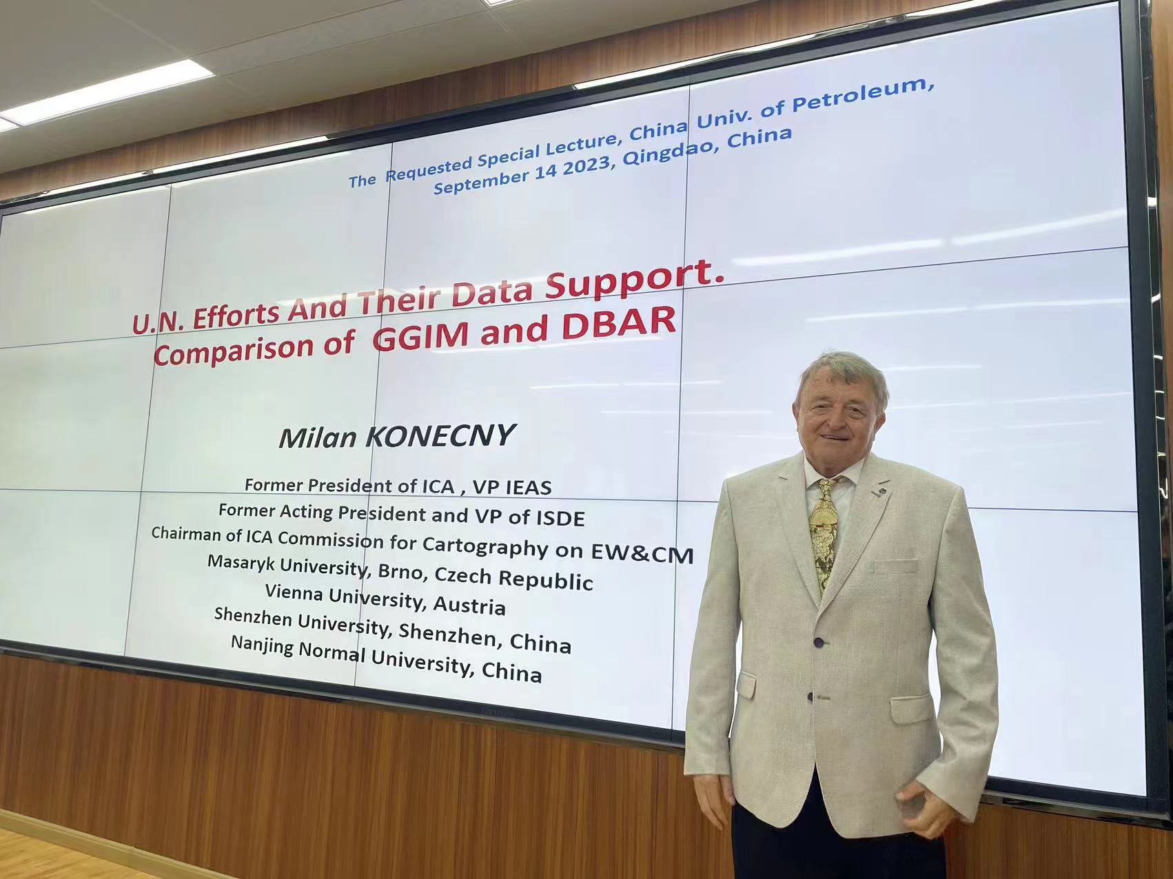
In order to expand students’ international academic vision, understand the academic frontier knowledge. On the morning of September 14th, Prof. Konecny Milan from Masaryk University, Czech Republic, was invited by Associate Prof. Binghu Huang, to give an academic report entitled “Global Geospatial Information Management and Digital Belt and Road Program (GGIM and DBAR)”. The report was hosted by Associate Prof. Binghu Huang.
In the report, Prof. Konecny Milan firstly started from the worlds global challenges, leading to the Sustainable Development (SDGs) goals, targets and indicators and disaster risk reduction. Afterwards, Prof. Konecny Milan introduced the Sendai Framework in detail. He also talked about theintegration of SDGs and Sendai Framework Indicators. Then, the role of Global Geospatial Information Management and Digital Belt and Road Program (GGIM and DBAR) activities have been strongly highlighted. Moreover,Prof. Konecny Milan talked about the new challenges including Digitalization Transformation, Digital Earth, Digital Twins, etc. After the report, there was a heated discussion and exchange with teachers and students.
Prof. Konecny Milan, Academician of the International Eurasian Academy of Sciences, works at the Department of Geography, Masaryk University, Czech Republic, He holds chairman of the Committee on Crisis Management and Early Warning Mapping of the International Cartographic Association, vice-president of the International Society for Digital Earth (ISDE), president of the European Region of the International Eurasian Academy of Sciences (IEAS). He has been long engaged in teaching and scientific research in the fields of Geographic Information System, Remote Sensing, Digital Mapping, Disaster Management, Sustainable Development and Global Environmental Assessment, etc.
(Author: Wenjing Wang; Reviewers: Kaifei He)

