
Professor Saied Pirasteh, renowned for his expertise in GeoAI and LiDAR remote sensing, was recently invited to deliver two enlightening academic presentations aimed at broadening the horizons of both faculty and students.
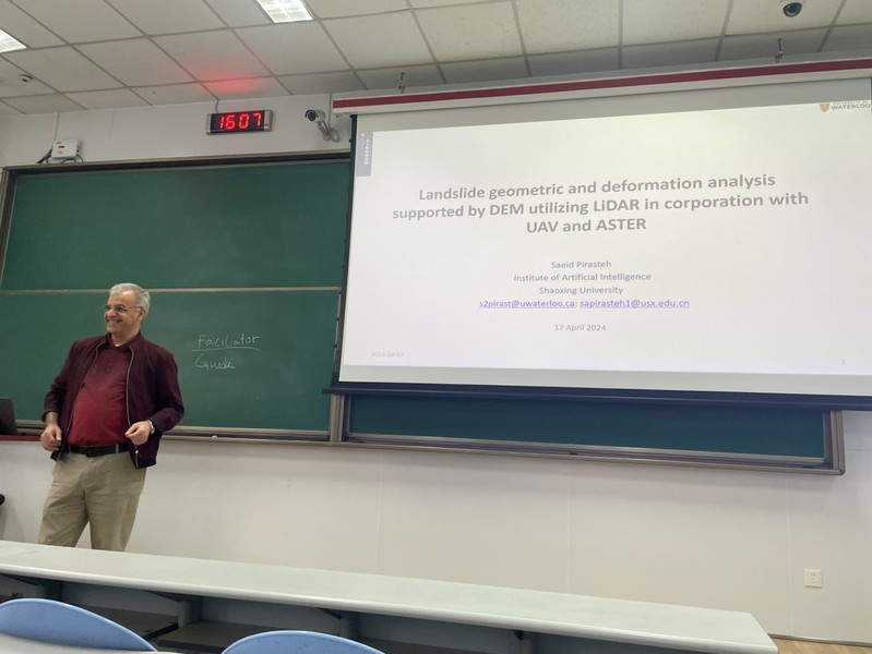
On April 17th, in the confines of Room 203, West Hall, Professor Pirasteh captivated the audience with his lecture titled "Landslide Geometric and Deformation Analysis Supported by DEM Utilizing LiDAR in Conjunction with UAV and ASTER." He unveiled an innovative integrated algorithm designed to streamline determining and measuring various landslide parameters, revolutionizing the landscape of landslide disaster management data. Leveraging LiDAR, digital elevation models, drone imagery, and ground observations, this algorithm significantly truncates processing time while ensuring precise measurements of critical dimensions such as length, width, area, and flow direction.

Continuing his academic odyssey on April 18th, Professor Pirasteh graced Room 402 of the Marine Building at the Guzhenkou Campus with his second presentation, titled "Research Design, Methods, and Some Tips from Geosciences and GIS Perspective." Here, he embarked on an insightful journey, addressing common pitfalls encountered by students in their research endeavors. Emphasizing the importance of meticulous planning, Professor Pirasteh delineated various techniques and strategies pivotal for crafting an effective scientific research proposal. He elucidated the dichotomy between qualitative and quantitative research methodologies and elucidated the foundational steps essential for embarking on a research voyage, advocating for a three-step strategy to bolster research efficiency and foster critical thinking among students. Throughout, he underscored the cardinal virtues of rigor and precision in scientific pursuits.
Professor Pirasteh's distinguished academic career spans continents and disciplines. Currently serving as a Visiting Professor at the Geospatial Intelligence and Mapping (GIM) Lab at the University of Waterloo in Canada, he also holds the esteemed position of vice dean at the Artificial Intelligence Research Institute at Shaoxing University, Zhejiang. Previously, he served as an associate professor in the Faculty of Geosciences and Environmental Engineering at Southwest Jiaotong University. An active member of esteemed organizations such as the IEEE Geoscience and Remote Sensing Society and the UN-GGIM Academic Network, Professor Pirasteh also chairs the ISPRS ICWG III/IVa (Disaster Management). His illustrious career is distinguished by a steadfast commitment to teaching and pioneering scientific research, focusing on GeoAI, LiDAR remote sensing, geospatial data science, and the application of remote sensing and GIS in hazard monitoring and disaster management.
(Author: Binghu Huang, Reviewer: Kaifei He, Source: College of Oceanography and Space Informatics)